Torres del Paine
With incredible views, easy access to hiking and massive glaciers, it’s no surprise that Southern Patagonia region is world-renowned among backpackers. This region, shared between Chile and Argentina, is comprised of some of the most rugged, diverse and remote terrain we’d ever seen. Scenic fjords and an archipelago (Tierra del Fuego) make up much of the southern coastline of Chile, where small fishing towns and sheep farms sustain local economies. Navigating through these channels and around Cape Horn was critical to the first circumnavigation the Earth by the Portuguese explorer Ferdinand Magellan in the 1500s.
For many backpackers traveling to the region, the “W” trek is almost a rite of passage. The iconic massive granite towers, Torres del Paine, provide a striking backdrop during the multi-day hike along the south face of the towers. Over 4 days we hiked almost 80 km (50 miles), starting from the east side of the park, Refugio Torre Central, heading west toward Paine Grande. We lucked out with weather, seeing mainly sunshine and moderate temperatures for most of the days other than high winds (over 60 mph) and occasional rain spurts.
Starting in Puerto Natales, Chile, we climbed onto a bus which dropped us inside of the park, a short walk to the Refugio Torre Central. We arrived in the afternoon, so we used the evening to get our bags situated and a good night’s sleep before starting our hike.
Our first hike was a roundtrip day hike to Mirador Torres - a spectacular view of the towers with a turqouise lake at the base. Totaling 19 km (11.8 mile), the uphill climb to the lake made for a long day but well worth the view at the top. Once we returned to our bed at Refugio Torre Central, we enjoyed a well-earned cold beer and witnessed a large cougar walking about 100 feet from us! It was an amazing sight to see and based off of feedback from other guides we chatted with, it was very rare to see cougars so close to the lodge.
Aside from the massive towers, we were surrounded by beautiful lakes, rivers and glaciers. Within a given day span, we walked through open meadows, forested areas and vast granite rock fields leftover from the last ice age when glaciers shaped the landscapes seen today.
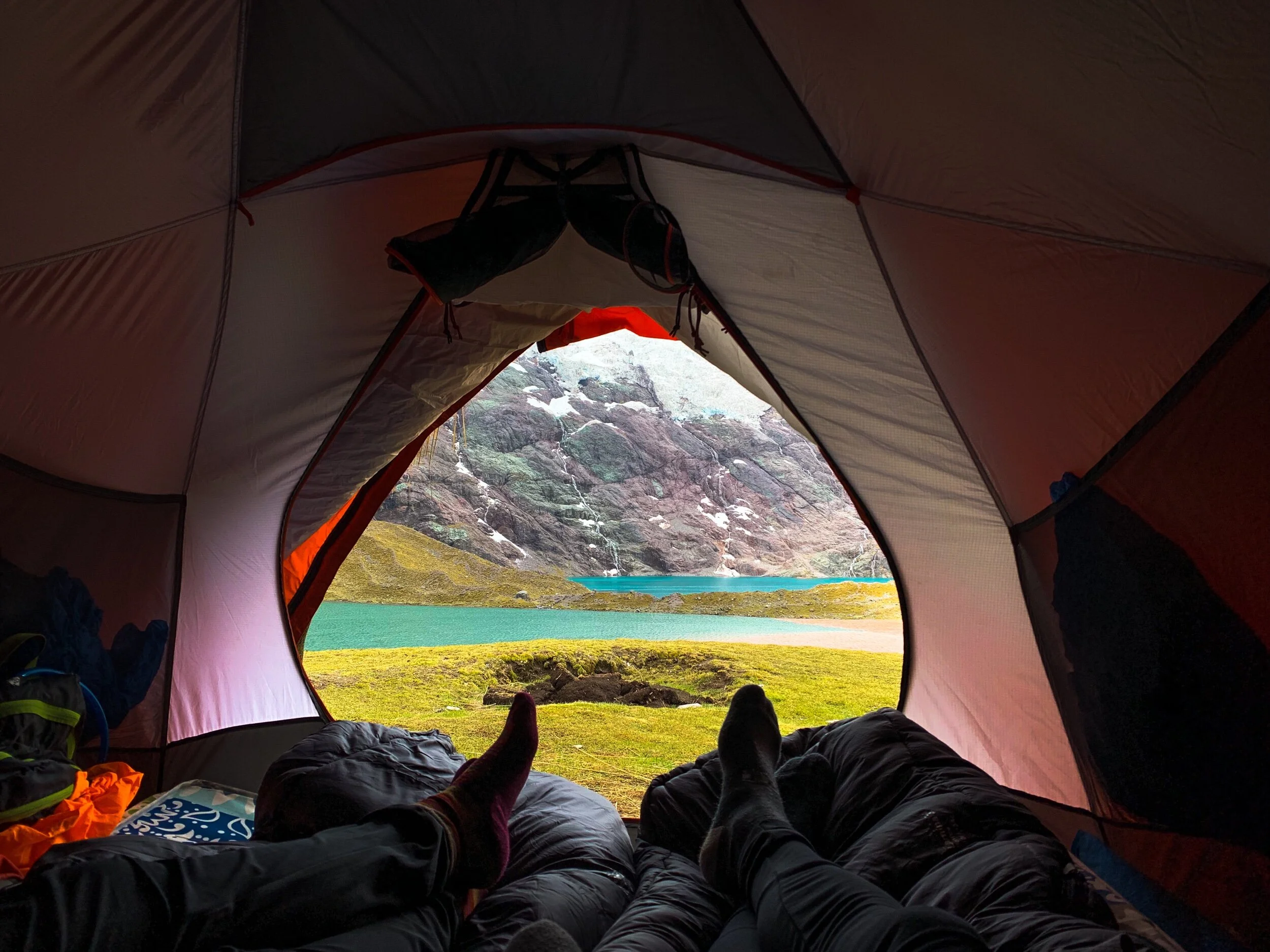
Along the trek we stayed at refugios and cabanas, but various campgrounds were also available for those wanting a more rustic experience tent camping. One night we barely made it to the cabana before it started pouring rain, so we were lucky to be “glamping” that evening. Los Cuernos cabanas were our favorite accommodations. These A-frame style cabins each have 2 twin beds and a small wood-burning stove. After our longest day of trekking through varying weather conditions, we loved the cozy setup. Check them out here in case you’re planning a trip!
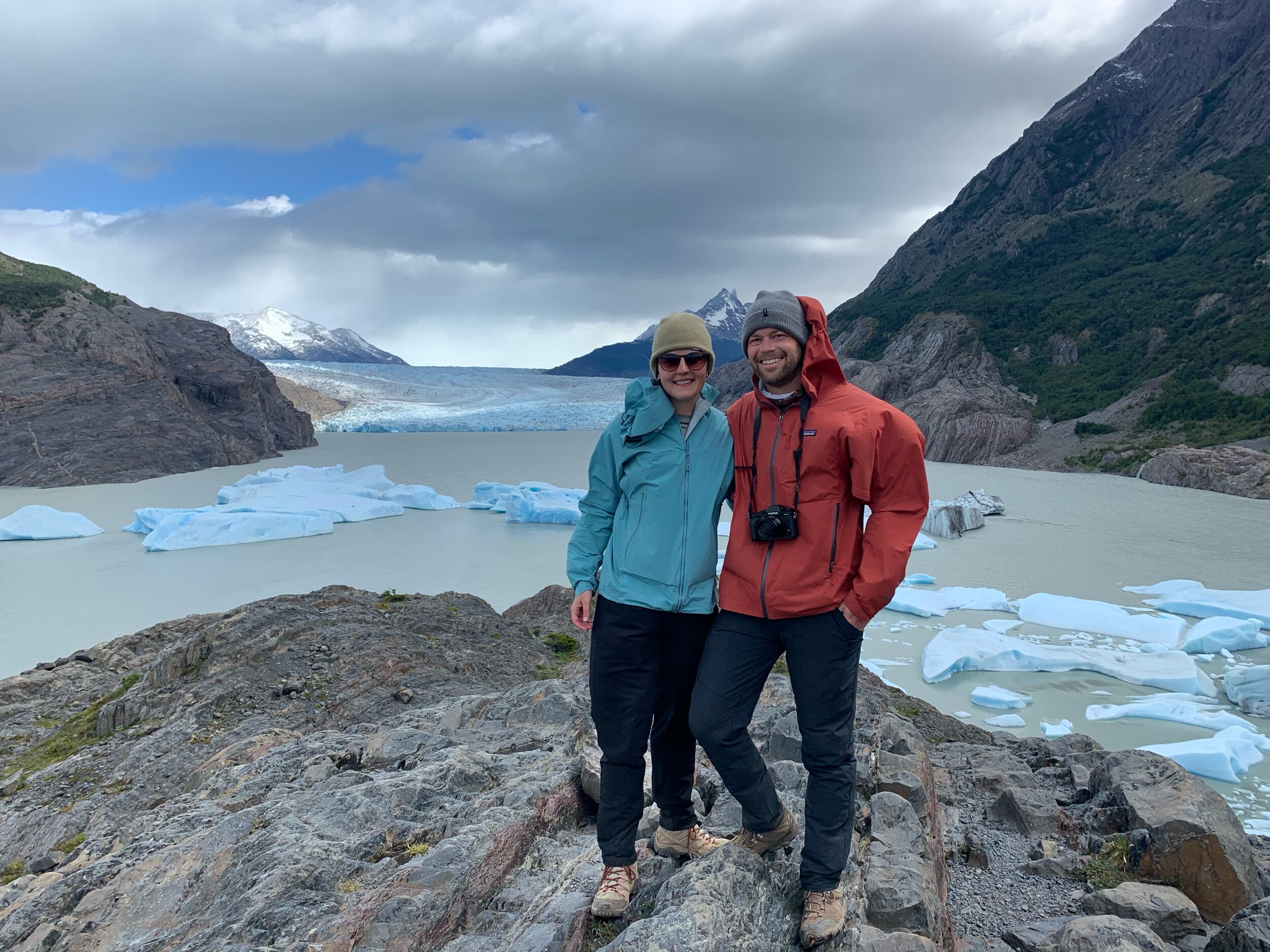
On the west side of the park, the hike to Grey lake provided stunning views of the glacier and thousands of floating icebergs which are a result of glacial ice calving. (Ice calving is the technical term for ice which is slowly breaking away from the larger glacier, forming floating icebergs). We wanted to more time hanging out near the lake, but the wind gusts were so strong that we enjoyed our sandwiches on the trail instead.
We left the glacier and headed back down towards Paine Grande Refugio where we boarded a return ferry to take us east across lake Pehoé. Stinky, sore and exhausted, we were happy to be done with the hike but also a bit sad to leave such a special place. We were already scheming about new hiking routes to explore through the park on a future trip. On the other side of the lake, we took a bus back to the town of Puerto Natales, Chile where we’d spend the evening before taking off on our next adventure.


